
MAGNET Project
Topcon
Planning for reality — a digital earthmoving workflow that runs from the 3D model through mass-haul optimization to a location-based schedule the site can actually follow.
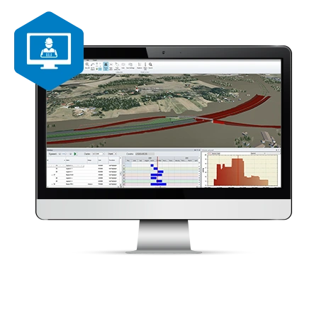
Reduce risk, automate mass haul
Projects are managed in 3D, options and their costs are compared before anyone moves earth, and the resulting earthmoving plan sits on the map rather than in a spreadsheet. Because the schedule is location-based, the clashes that usually surface on site — two crews in the same place, a haul route blocked by its own works, a safety constraint discovered late — surface in the plan instead.
What it does
- Automated mass-haul optimization
- Location-based scheduling
- Risk assessment across mass-haul scenarios
- Mass balance visualized and controlled
- Haul-distance calculation
- Material usage and traffic planning optimized together
- Full 3D design and quantity takeoff
- Sitelink3D and MAGNET Enterprise connectivity
Resource planning that holds up
What separates MAGNET Project from a general 3D office package is the resource-optimization and location-based scheduling toolset on top of it: machine production rates stay inside the budget, and the dates the schedule produces are ones the plant can actually deliver.
MAGNET Construction — estimating and constructible models
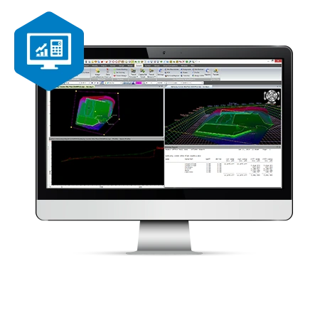
The estimating half of the same office suite. 3D constructible modeling lets a contractor catch errors before they reach the field, limit over-digging and keep machine-control operators working to the right surface. Takeoff calculates true volumes, so the estimate rests on the model rather than on an allowance. The same toolset covers trenching, roading, corridors and asphalt repaving design.
- PDF to digital model conversion
- Customizable materials library
- Subsurface strata from borehole data
- Accurate subgrade quantity calculation
- Cut and fill maps
- Surface file cleanup
- Site balancing
- Pipe library and trench templates
- Wide range of compatible file types
- Paving surface design
- Sitelink3D and MAGNET Enterprise connectivity
MAGNET Site — models for machine control
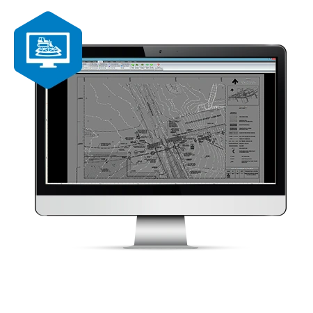
The modeling half: 2D plans from CAD or PDF elevated into 3D road and site models, road corridors, highways and intersections designed without the usual detour through a separate package. Topcon digital terrain models transfer straight to machines, field crews and stakeholders — the same surface used for machine control and staking also produces topographic maps, cut-and-fill volumes and progress reports.
- 3D modeling for machine control
- Extensive 2D-to-3D conversion toolset
- Full road design functionality
- Surface model merging
- Automated pad design with cut/fill balance
- Multiple volume routines
- Automated CAD data cleanup
- Wide library of compatible formats
How APP works with MAGNET
The earthmoving plan is only useful if it reaches the master schedule. APP connects location-based earthworks planning to the CPM schedule the contract runs on — see Planning, Scheduling & Project Controls — and delivers implementation and training as a service rather than a licence handover.