Madrid - Paris - London - Lisbon - Rome - Istanbul
New York - Miami - Toronto - Montréal
Mexico City - Bogotá - Lima - Santiago - São Paulo
Riyadh - Johannesburg - New Delhi - Shanghai - Sydney
Constructible models for machine control and sitework
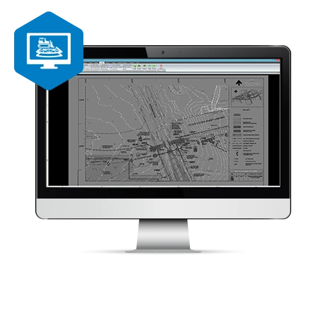
MAGNET Site is a fully featured constructible model and surveying software for any road or site project. Contractors, and specifically 3D model builders appreciate the comprehensive toolset with easy-to-learn workflows and direct site connectivity. Easily elevate 2D plans and create 3D road and site models from CAD or PDF files. Simplify complex road-design projects, and streamline the design of road corridors, highways and intersections.
Product Features
3D modeling for machine control
Extensive 2D-to-3D conversion toolset, including highly versatile textures
Full road-design functionality
Ability to merge surface models
Automated pad design with automatic cut/fill balance
Multiple volume routines
Automated CAD-data cleanup
Vast library of compatible formats
Constructible digital terrain model
Topcon digital terrain models can be directly transferred to machines, field crews or project stakeholders for a better-connected project team. Digital terrain models (DTMs) provide a data efficient surface project representation used for machine control and staking as well as to create topographical maps, extract cut-and-fill volumes, and create progress reports.